Landscape Project — Aerial Overview & Progress Documentation
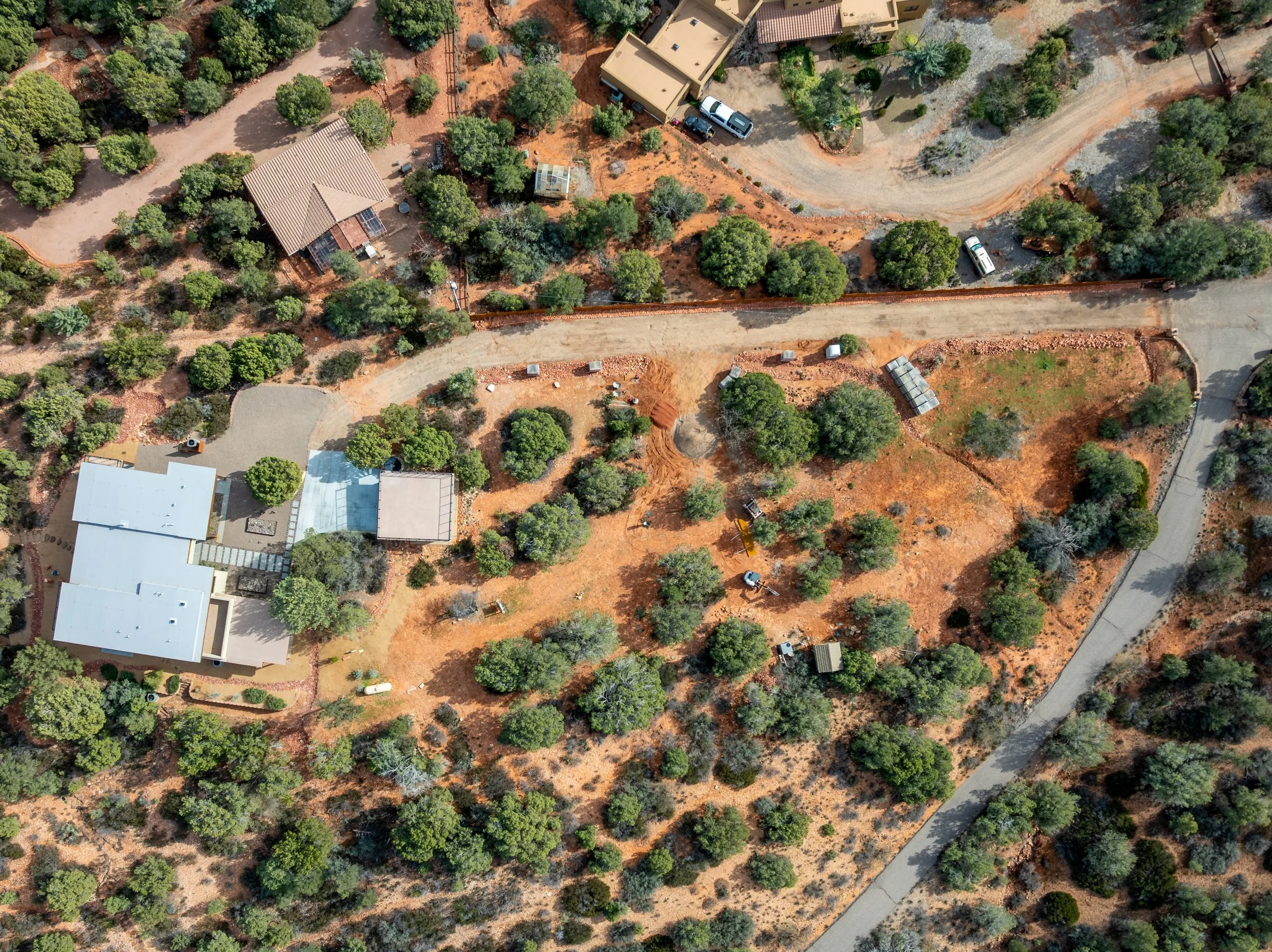
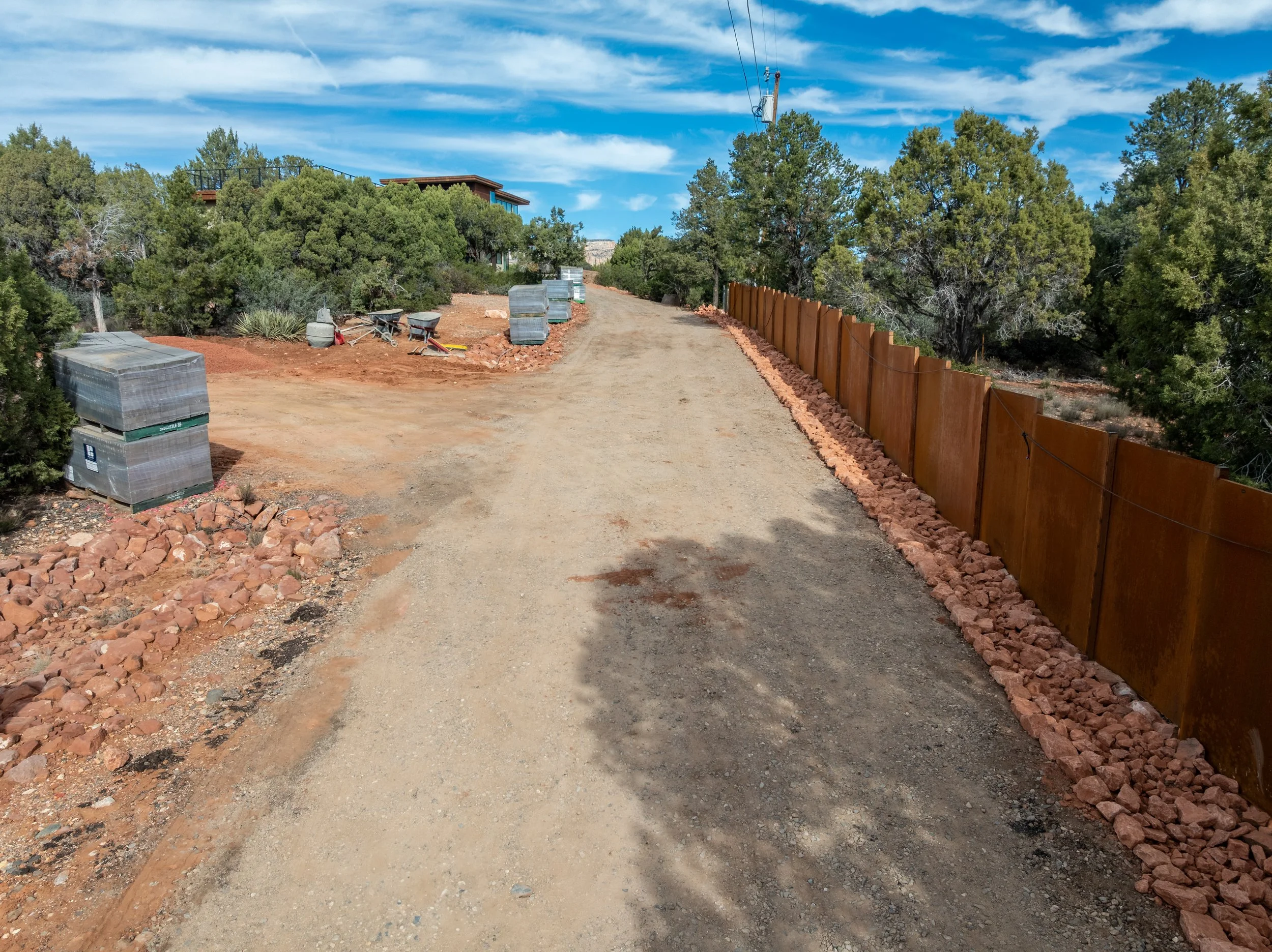
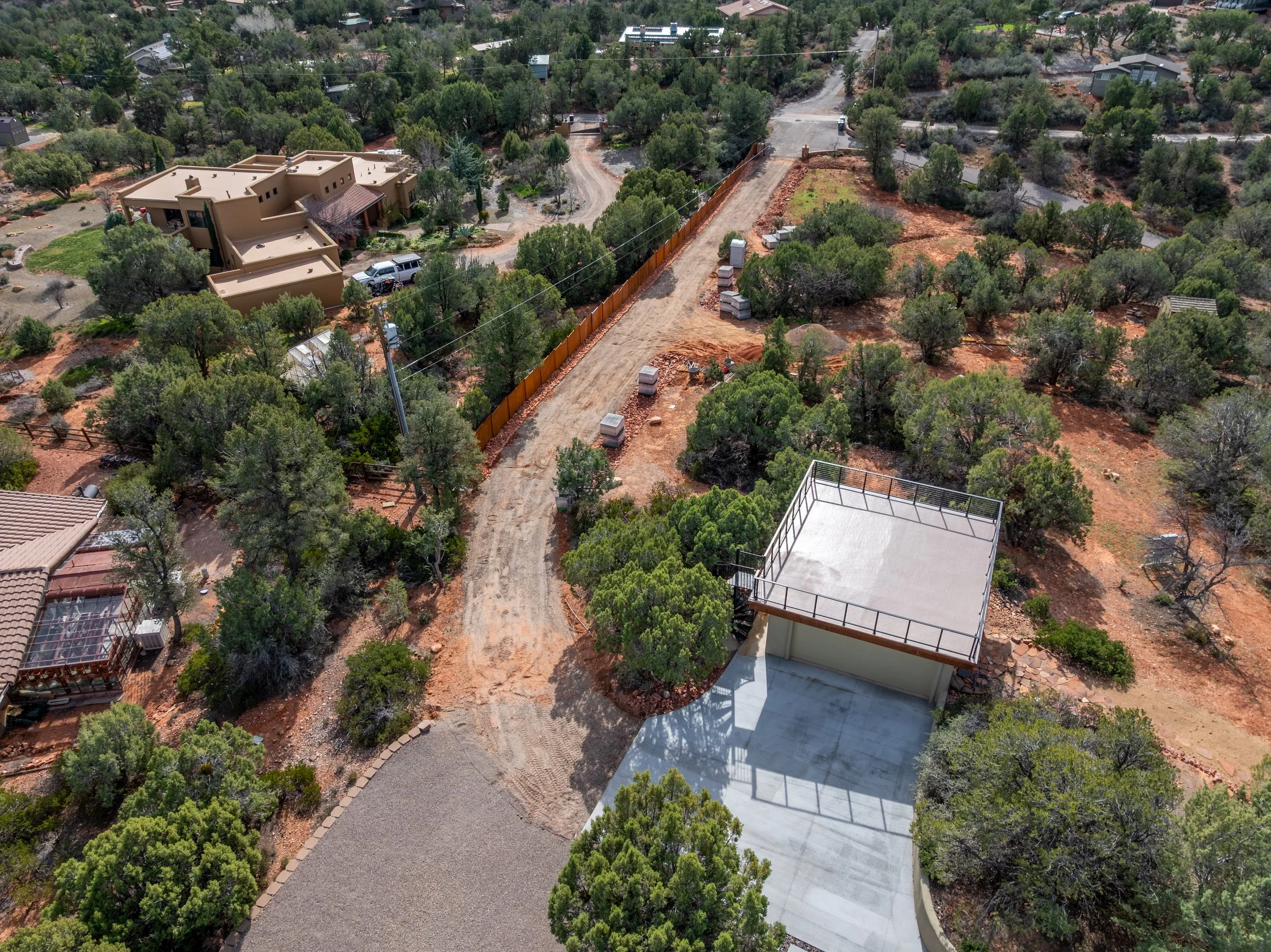
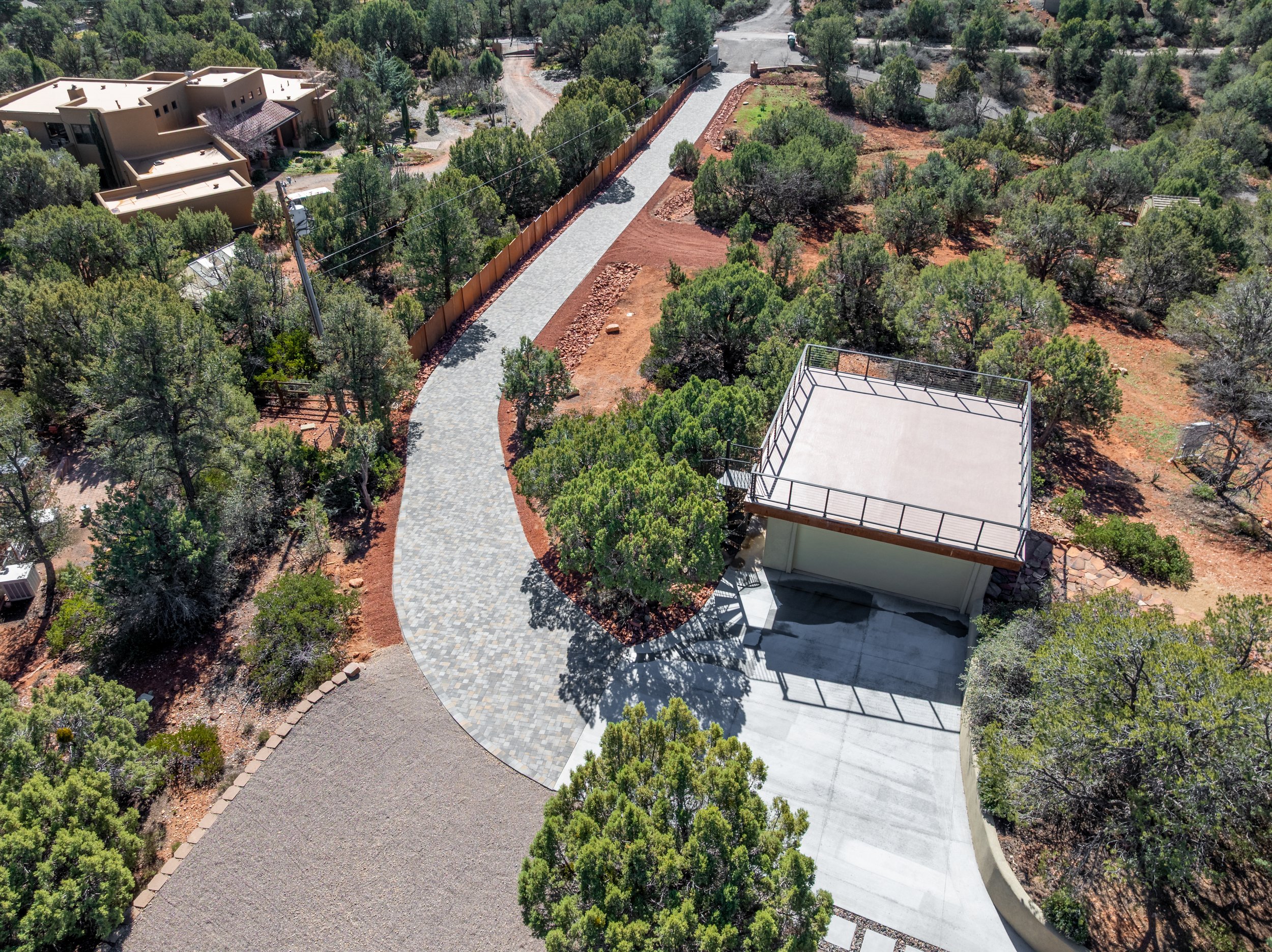
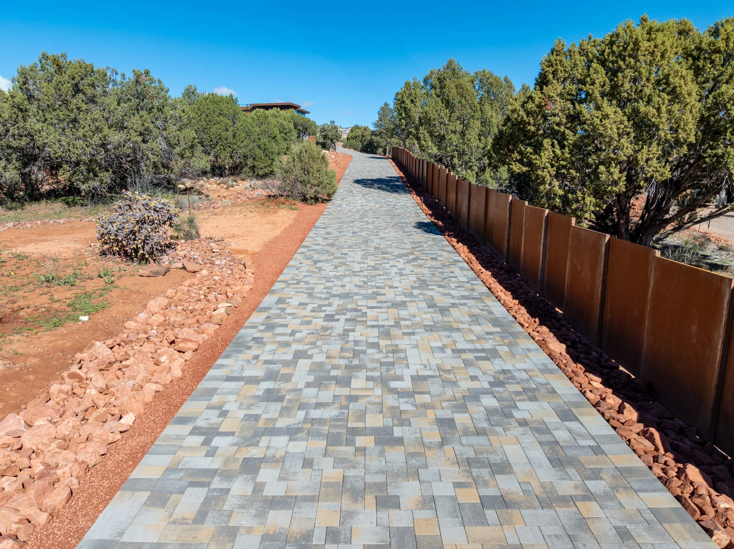
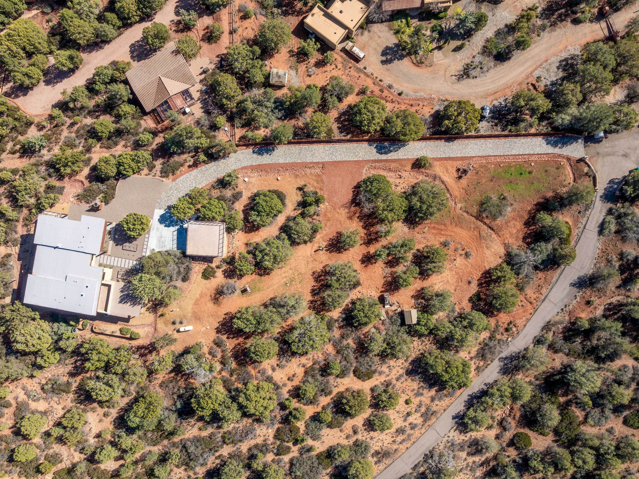
This project highlights how aerial imaging captures the full scope of a landscape transformation—from initial site conditions to final installation. Wide aerial views provide a clear understanding of property layout, terrain, and access, while mid-level angles document key elements such as driveway installation, grading, and material placement.
The progression from raw ground to finished hardscape is captured with clarity, making it easy to track changes, verify execution, and communicate results. Aerial perspectives reveal relationships between structures, landscape features, and surrounding terrain that are difficult to fully understand from ground level.
This section presents a curated sample of a typical project, demonstrating how each phase can be documented with accuracy and consistency.
What aerial documentation provides:
Full-property visibility for planning and layout decisions
Clear tracking of grading, access, and installation progress
Accurate representation of finished hardscape and surroundings
Professional visuals for clients, contractors, and project records