Real Estate Photography — Aerial Property Showcase
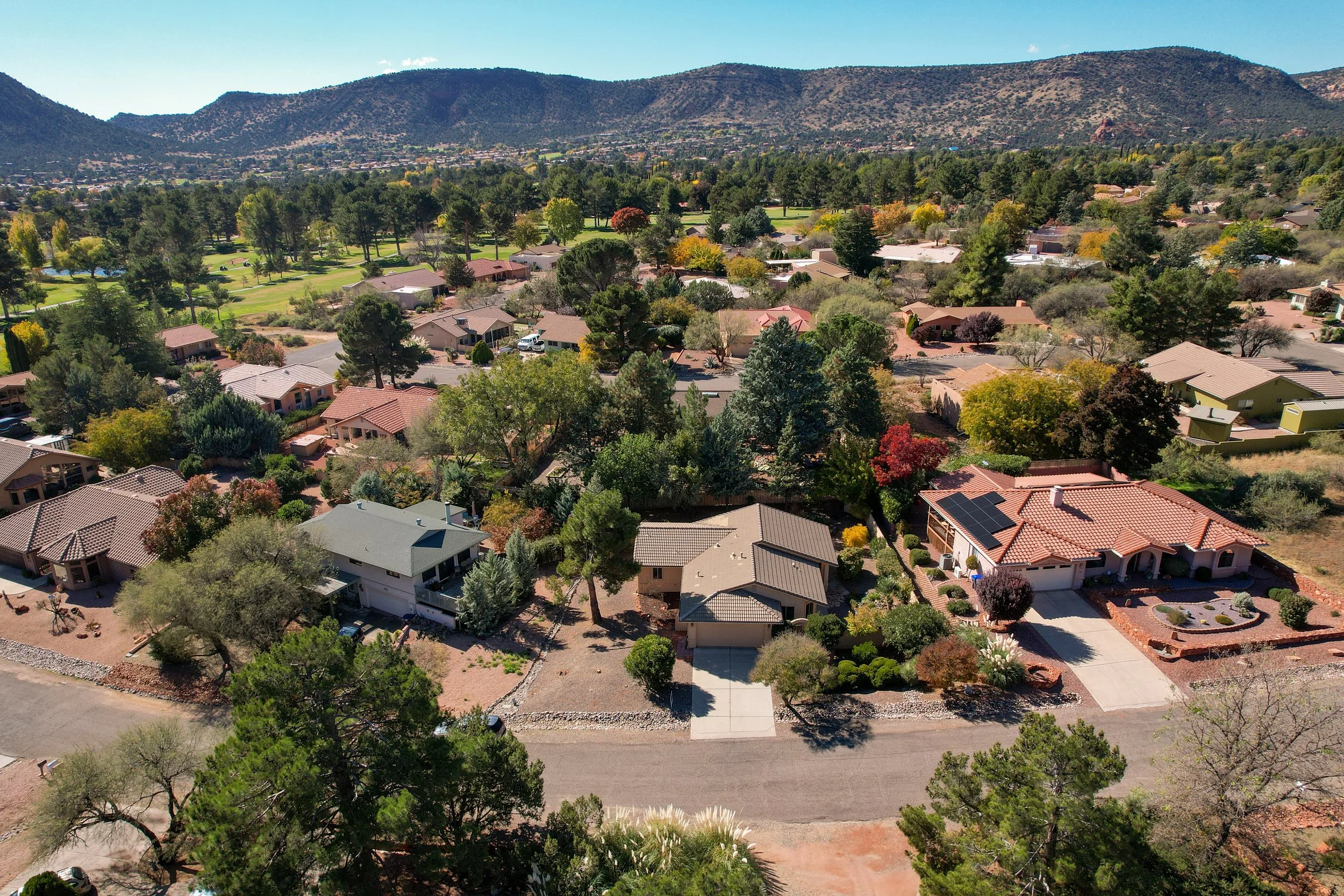
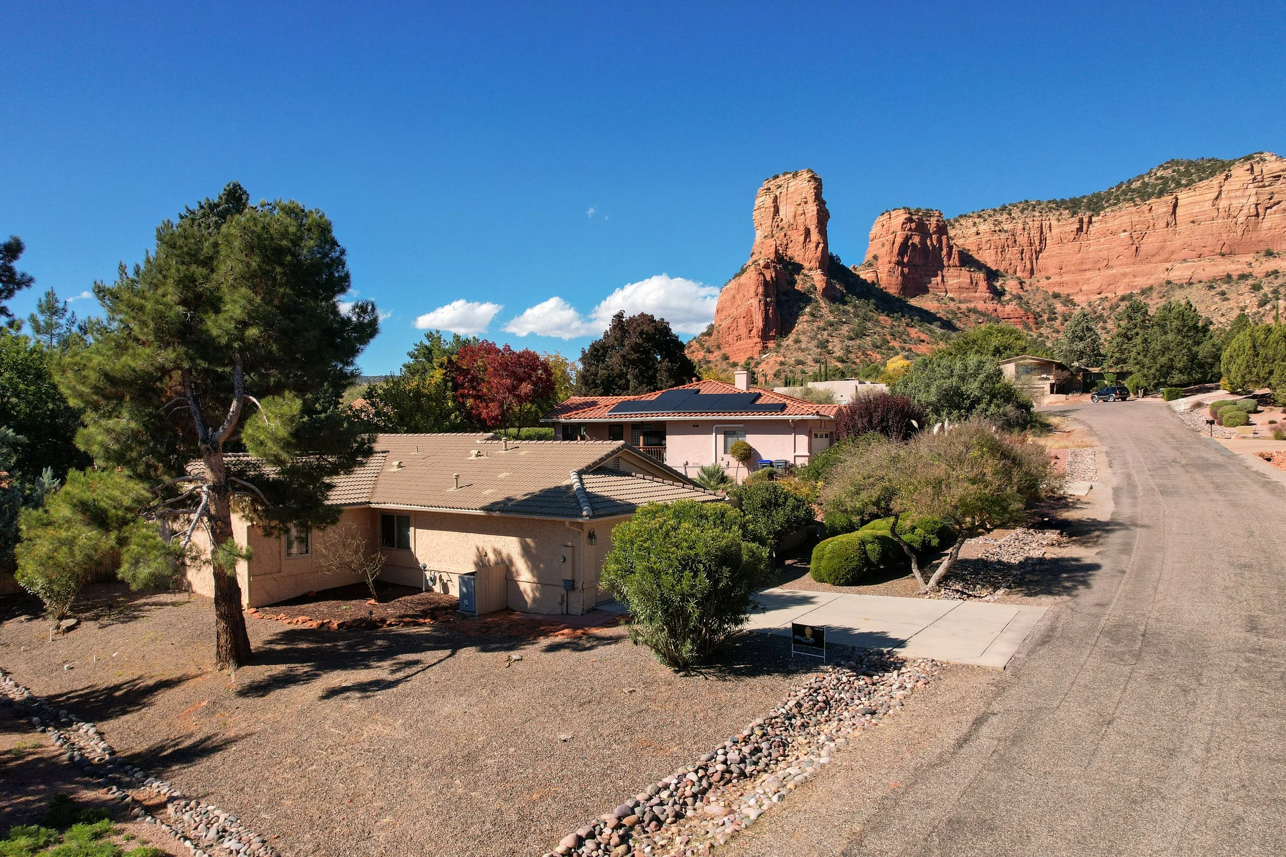
This project highlights how aerial photography enhances real estate listings by capturing both the property and its surrounding environment. Elevated perspectives provide a clear view of the home’s layout, landscaping, and positioning within the neighborhood, while angled shots create depth and visual context that ground-level images cannot fully convey.
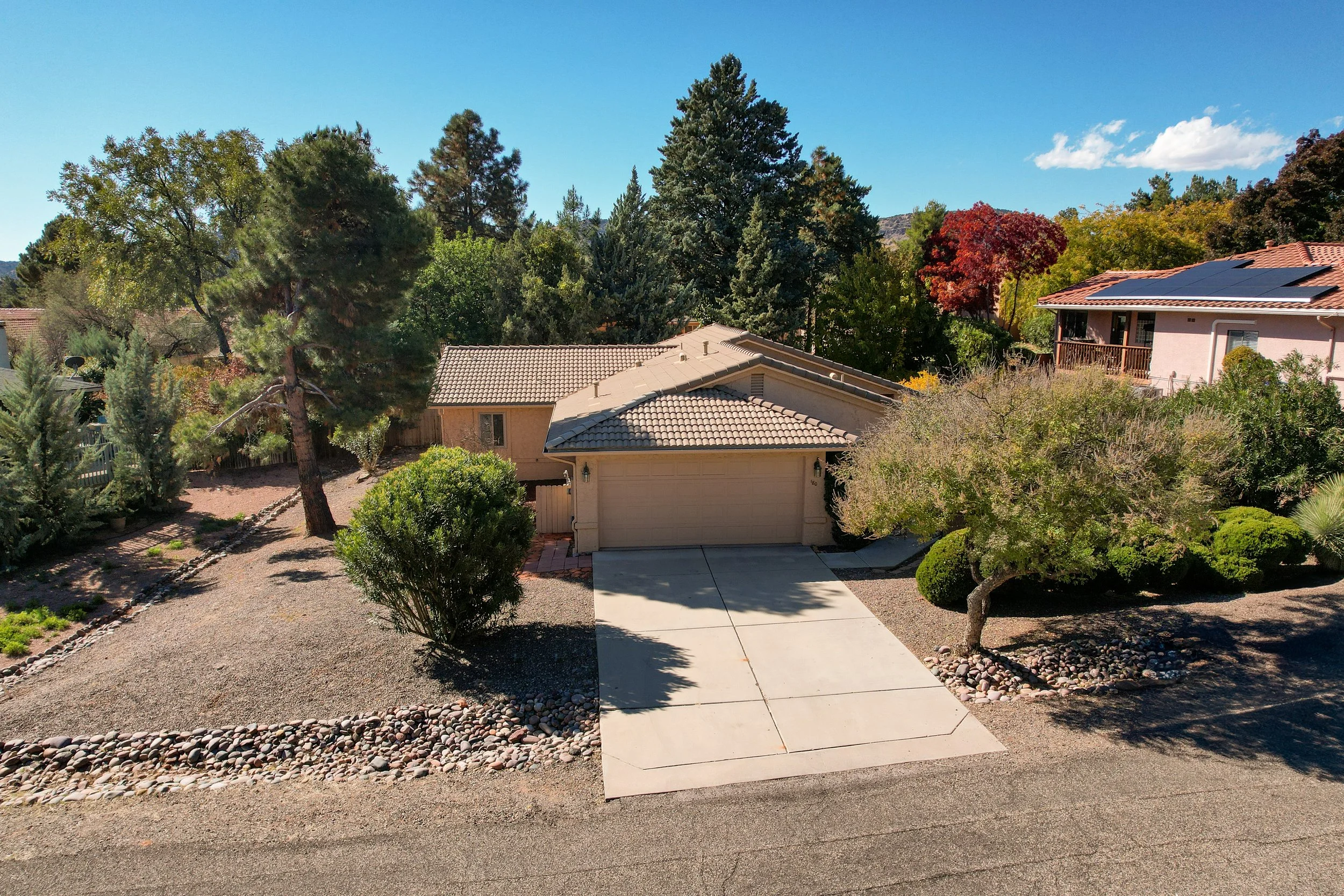
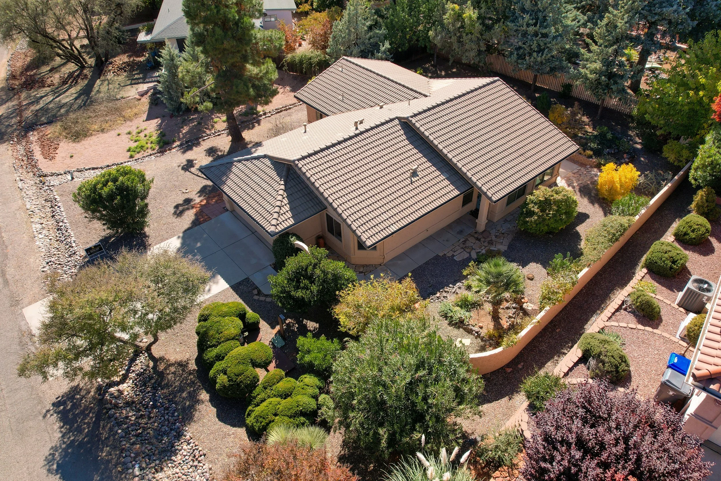
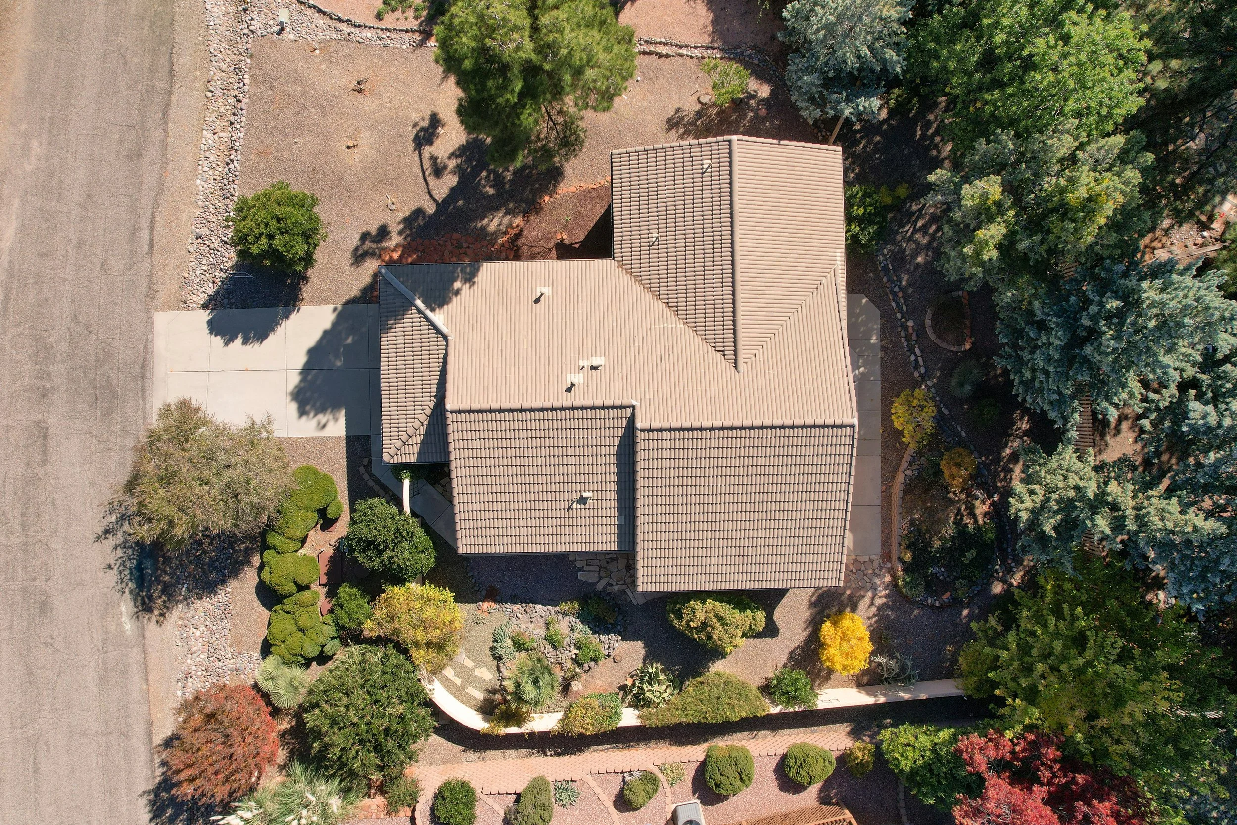
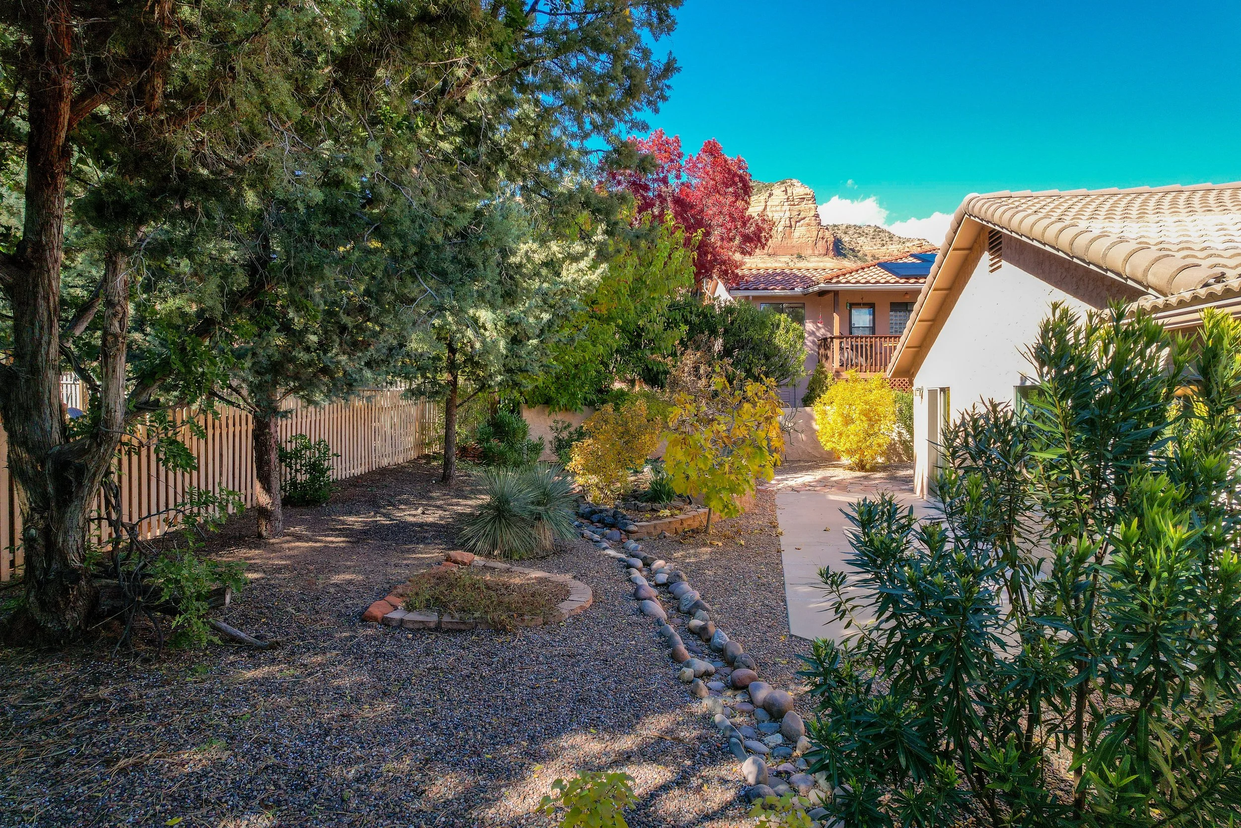
Wider views showcase proximity to natural features, open space, and nearby properties, helping potential buyers understand the setting and overall appeal. Closer aerial angles focus on the home itself—highlighting structure, condition, and exterior details in a clean, professional presentation.
This section presents a curated sample of a typical real estate shoot, designed to deliver strong visual impact while accurately representing the property.
What aerial documentation provides:
Clear view of property layout and surrounding environment
Enhanced listing appeal with depth and visual context
Better understanding of location, space, and neighborhood setting
Professional imagery that helps listings stand out